
weather Switzerland
Changeable, but not unfriendly
Clouds will dominate in the north today (Friday), with some sunshine at the weekend. However, it will not be 100% dry. It will be wet more often at the beginning of next week, then the influence of high pressure will gradually increase.
climate Switzerland
May makes everything new – what is possible
As in April, a lot is possible in terms of weather in May: it ranges from snow and frost to midsummer heat. In addition, the first heavy thunderstorms often occur as a result of the higher position of the sun and the decreasing snow cover of the mountains.

climate Switzerland
Early summer and late winter - April with extreme temperature contrasts
The first half of April was exceptionally warm, with an excess of almost 5 degrees over the whole of Switzerland! There were also an unusually high number of summer days and even all-time April temperature records in some places. However, this was followed by a sharp drop in temperature in the middle of the month and an unusually long period of cold weather with snow down to low altitudes and even frost in some places. From one extreme to the other! Nevertheless, April 2024 will be too mild overall.
weather Switzerland
First early summer with Sahara dust, then changeable
As is typical for this time of year, temperatures are currently on a bit of a rollercoaster. After last week's cool phase, the pendulum is now swinging in a mild/warm direction and April 2024 is saying goodbye to early summer. Saharan dust has a somewhat dampening effect. This will be washed out again by rain showers in the second half of the week...

weather lexicon
How high are the clouds?
In addition to wind, temperature and humidity, other parameters are also monitored and determined in meteorology. These include the type of cloud cover and its lower limit, as well as the aerosol content of the air. The corresponding instrument is the ceilometer.

weather Switzerland
Increasingly warmer and at least partly sunny
The past few days have been characterized by significantly below-average temperatures and repeated wet episodes. After another critical night with regard to frost on Friday, the temperature level will rise significantly and we will come very close to the summer mark regionally at the turn of the month. Congestion sets in in the south, while it will be foehn in the north. There are also signs of another greeting from the desert at the start of the new week.

bioweather Switzerland
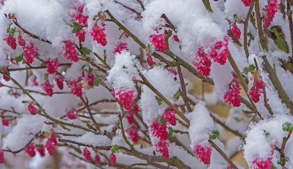
An ever earlier spring – good or bad? Increased frost risk!
One of the mildest winters on record and the exceptionally mild spring so far are having an impact on nature: as has often been the case in recent years, it has awoken very early and is currently two to four weeks ahead of the rest of the year. Winters are becoming milder and milder as a result of climate change, which means that nature is waking up earlier and earlier and the growing season is being extended. This has a variety of effects, both positive and negative. In particular, the risk of late frosts causing damage is increasing. The next few days will be tricky in this respect.
climate Switzerland
All about snow in April
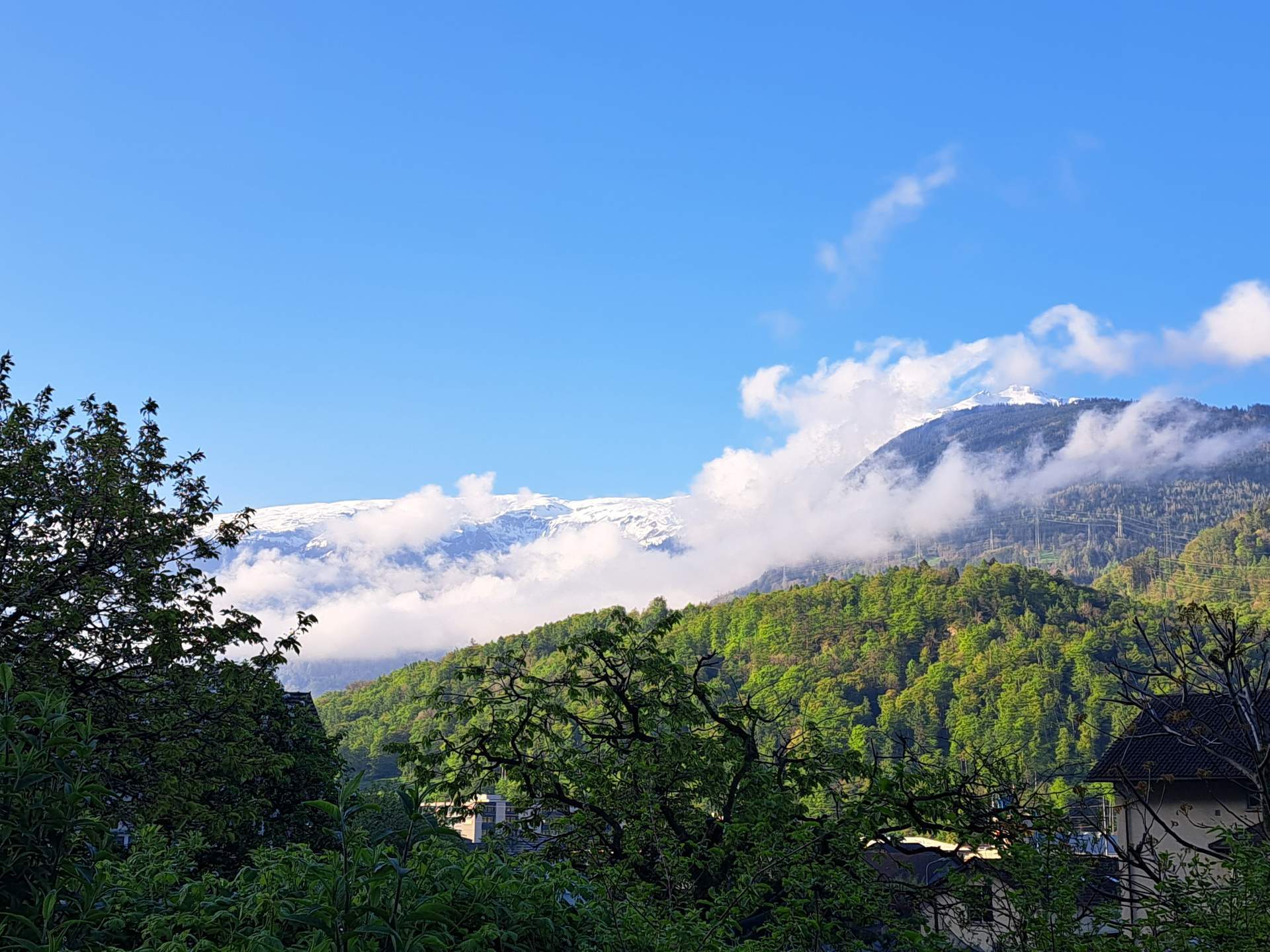
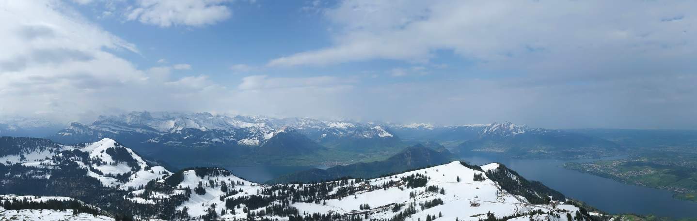
April did what it wanted this year, with snow down to low altitudes in the last few days. Snow in April occurs from time to time in the lowlands (on average about once or twice), but mostly in the first half of April. In addition, after a winter that was too wet in the Alps and a spring that has been too wet so far, there is currently much more snow than normal at high altitudes. This is certainly positive for the water balance in summer. The initial situation is also good for the glaciers, but the balance will depend heavily on the weather conditions in the summer.

climate international
El Niño goes, La Niña comes
El Niño conditions have prevailed in the equatorial Pacific in recent months, and sea surface temperatures here are still above average at present. However, the El Niño is in its final stages and the ENSO swing is tipping.
weather Switzerland
Still cool until Thursday, warmer at the weekend
The cool weather for this time of year will continue in the north until Thursday, with maximum temperatures mostly remaining in the single digits and a risk of frost in the morning. On Friday, double-digit maximums are expected for the first time in almost 10 days. At the weekend, it should then become very mild to warm with a foehn-like southerly current over the Alps, and the long cool phase will then definitely be over.


