Today, Friday, a high pressure system over the nearby Atlantic named Frank will slowly dry the air in our area and then largely determine our weather over the weekend until next Tuesday. Apart from patches of fog or high fog in the lowlands, it will bring lots of sunshine and temperatures well above average for the time of year, especially on the northern edge of the Alps. There will be very good winter sports weather on the mountains, although a strong north-westerly wind may be a nuisance. From the middle of the week, the weather will become more variable, but it will remain mild until Saturday. After that, there are signs of a marked cooling.

Better weather today Friday
After a cold front crossed the north yesterday (Thursday) and brought up to 10 liters of rain per square meter locally, especially along the eastern Alps and in the northeast, a high pressure system called Frank with its center over the Bay of Biscay is extending its feelers to us today and slowly drying the air. As a result, there will be relatively little sunshine in the morning in addition to patches of fog in the lowlands and some denser clouds. In the afternoon, the sunny spells will become longer and longer, and it will take the longest for the weather to improve in Graubünden. Here, partly denser clouds are expected until the evening, with a little precipitation possible in the afternoon. At around 8 to 10 degrees, temperatures will be significantly higher than usual for this time of year, as in recent days. In the south, the weather will be quite sunny and somewhat milder at around 13 degrees (see Fig. 1).

Fig. 1: Weather today Friday; Source: MeteoNews
High pressure weather until Tuesday
The above mentioned high pressure system Frank will essentially determine our weather over the weekend until Tuesday, although we are on the north-eastern edge of the high pressure system and disturbances from Atlantic/Scandinavian lows will only pass close to our country (see Fig. 2).

Fig. 2: We are on the north-eastern edge of the high, so there will be a lot of wind on the mountains, especially in the east (Sunday noon, European weather model ECMWF); Source: Meteonews, UBIMET
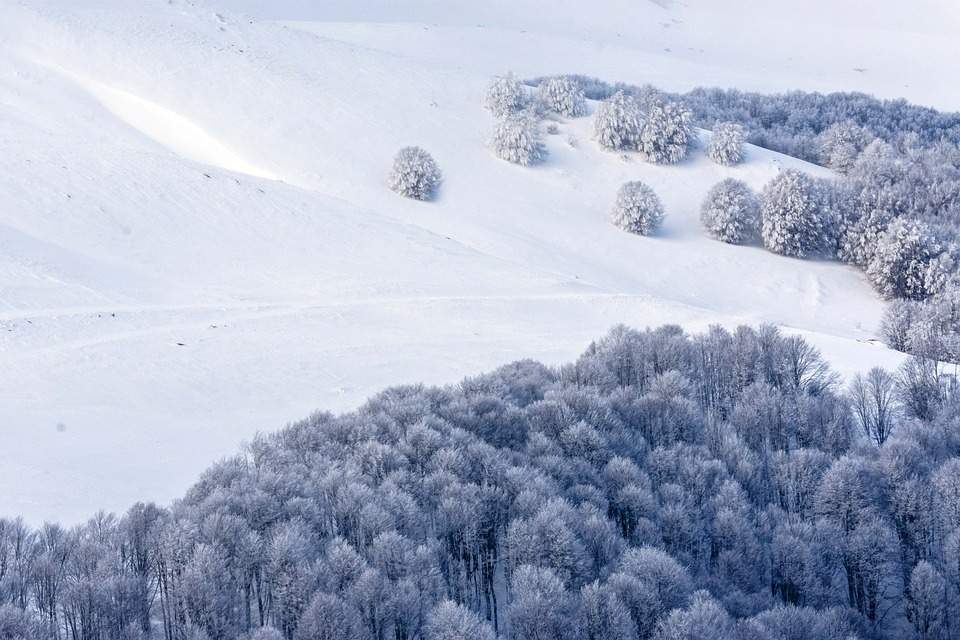
The high pressure system will bring plenty of sunshine to the Alps and only occasional high cloud fields with a high zero degree limit between 2300 and 2800 meters in the east and 2600 to 3300 meters in the west. The mildest weather will be tomorrow, Saturday. This means there will be good winter sports weather, although a strong to even stormy north-westerly wind will blow on the mountains at the weekend, especially in the east, on the southern edge of a Scandinavian storm depression on Sunday, which may spoil the winter sports fun somewhat in wind-exposed locations (see Fig. 3).

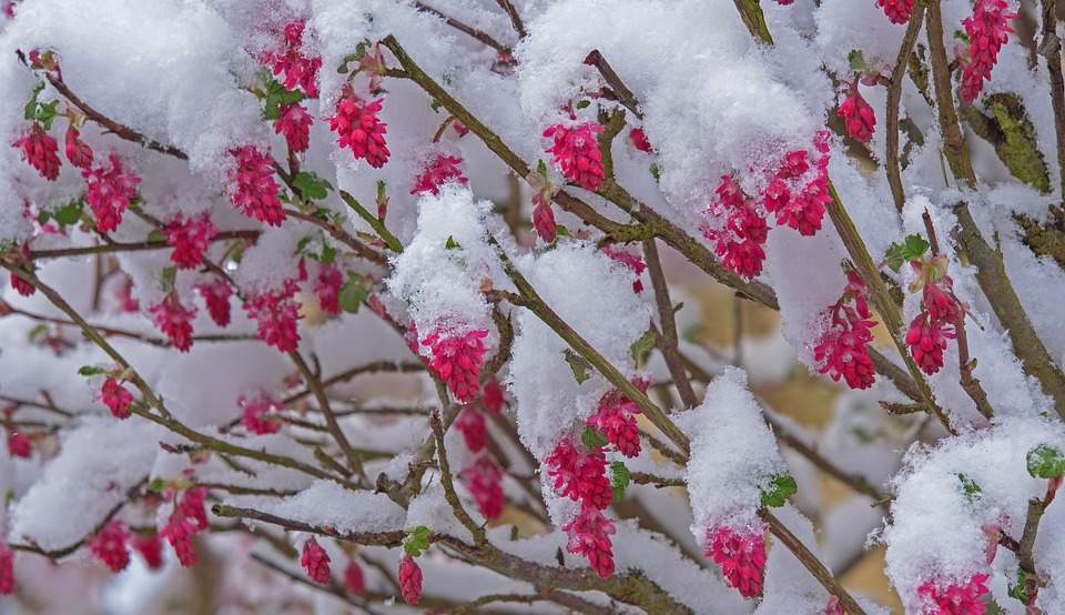
Fig. 3: Many winter sports enthusiasts are likely to be drawn to the often sunny mountains at the weekend; Source: pixabay
In the swiss plateau, there will also be patches of fog or high fog , especially in the morning, and on the northern edge there will also be denser high fog-like clouds in places. With temperatures of around 8 to 13 degrees, it will remain mild for the time of year. It will be even milder in the often sunny south until Monday, with occasional northerly föhn winds providing temperatures of around 14 to 17 degrees and thus a hint of spring.
Wednesday to Saturday changeable, but still mild
From the middle of the week, a south-westerly to westerly wind will bring changeable and, from Thursday (Schmudo), partly wet weather in the north, just in time for the start of the main carnival. It is also likely to be quite windy, especially on Wednesday and Saturday. Temperatures will remain well above average for the time of year, with most highs expected to be around 10 to 13 degrees. In the south, Wednesday and Thursday will be partly to fairly sunny with double-digit maximums. Friday and Saturday are likely to be unsettled and often wet with slightly lower temperatures.
Significantly cooler from Sunday, snow possible down to low altitudes
Although the time horizon is still very long, the models are largely in agreement that it will be significantly cooler from Sunday with a low moving north of us. Snow is also possible down to lower altitudes, possibly even into the swiss plateau. Winter could thus show another sign of life. In any case, winter should not be written off just yet!
Finally, an overview of the approximate weather and temperature development tomorrow, Saturday, until next Thursday in the north and south (see Fig. 4).

Fig. 4: Weather outlook from tomorrow Saturday; Source: MeteoNews, UBIMET
disclaimer
The content of this article has been at least partially computer translated from another language. Therefore, grammatical errors or inaccuracies are possible. Please note that the original language version of the article should be considered authoritative.