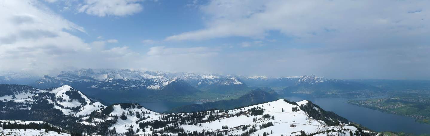
From Thursday to Sunday, sunny and increasingly warmer weather will set in in the area of influence of high pressure system Peter. At the weekend, it will be 23 to 25 degrees in the north and 26 to 27 degrees in the south, already warm again in early summer. In the coming week, it will be changeable, partly windy and increasingly cooler until the middle of the week, with first a westerly and then a northerly flow in the north. In addition, it will often be wet, especially along the Alps, with increasing northern congestion and the snow line dropping below 1000 meters by the middle of the week. The weather will also be changeable and windy next Monday for Sechseläuten in Zurich. In the south, on the other hand, the weather will be quite sunny and still warm from Tuesday with a northerly foehn.

High pressure weather with lots of sunshine until Sunday
The short-term cooler phase is already a thing of the past: The coming days up to and including Sunday in Switzerland will be dominated by a strong high named Peter, the center of which lies pretty much exactly over the Alps. This will bring often sunny weather from Thursday to Sunday. There will only be occasional veil clouds. There will also be a few spring clouds over the mountains today and tomorrow in the afternoon and some ground fog in the central plateau tomorrow morning, which will soon clear.
Early summer temperatures at the weekend
The temperature curve will rise steeply until Saturday and reach early summer values at the weekend. Today, temperatures will remain below 20 degrees at 16 to 18 degrees, and in the morning there was also some ground frost in the central plateau (temperature at 5 centimetres above ground), with Beznau being the coldest at -4 degrees (see table below). Bad for any crops already in bloom, such as strawberries and lettuces that have already been planted (it's far too early for that anyway). Frost 2 meters above the ground (hut frost) only occurred below 500 meters in Delsberg with -0.1 degrees, so it was not a problem for the many fruit trees currently in bloom.
Lowest temperature 5cm from the ground (<500m, as of 07:20)
| Lowland stations | Lowest temperature 5cm from the ground (in °C) |
|---|---|
| Beznau (325 a.s.l., AG) | -4.0 |
| Zurich-Reckenholz (443 a.s.l., ZH) | -2.6 |
| Leibstadt (341 a.s.l., AG) | -2.6 |
| Delémont (439 a.s.l., JU) | -2.5 |
| Zurich Airport (436 a.s.l., ZH) | -2.4 |
| Altdorf (449 a.s.l., UR) | -2.3 |
| Hallau (419 a.s.l., SH) | -1.9 |
| Mühleberg (483 a.s.l., BE) | -1.7 |
| Basel-Binningen (316 a.s.l., BL) | -1.6 |
| Koppigen (484 a.s.l., BE) | -1.3 |
| Schaffhausen (438 a.s.l., SH) | -1.2 |
| Gösgen (380 a.s.l., SO) | -1.2 |
| Wynau (422 a.s.l., BE) | -1.2 |
| Payerne (490 a.s.l., VD) | -1.0 |
| Buchs-Aarau (387 a.s.l., AG) | -0.9 |
| Güttingen (440 a.s.l., TG) | -0.7 |
| Lucerne (456 a.s.l., LU) | 0.3 |
| Sion (482 a.s.l., VS) | 0.4 |
| Geneva (420 a.s.l., GE) | 0.5 |
| Grono (325 a.s.l., GR) | 0.6 |
Tomorrow, Friday, it could be around 20 to 22 degrees, at the weekend it will be around 23 to 25 degrees. It won't be quite as warm as last Friday to Sunday, but at least the summer mark of 25 degrees is likely to be broken in places. Foehn winds are also not an issue due to easterly winds today, northerly winds tomorrow and mostly westerly winds at the weekend. The same applies to Saharan dust. As there will be cleaner air and fewer high clouds than during the last warm spell, the weather impression will be much better. Temperatures in the south will be slightly higher than in the north, rising to a summery 26 to 27 degrees.
High pollen concentrations
One problem for allergy sufferers, however, is the high concentrations of birch and ash pollen at low altitudes, especially from tomorrow Friday to Sunday (see Fig. 1). There is also a moderate amount of oak pollen in some places. Continuously updated information on the current pollen situation can be found here.

Fig. 1: Pollen count on Friday; Source: MeteoNews
Windy and changeable Sechseläuten
On Monday, when the Sechseläuten festival takes place in Zurich, the weather in the north will be changeable and windy with showers. The weather pattern is not yet clear. It is also uncertain whether and how many showers there will be in Zurich in the afternoon and evening. In any case, there will be a fairly brisk westerly wind with gusts of around 40 to 50 km/h in the afternoon and evening. Temperatures will also be slightly lower than before, but it won't be chilly at around 17 to 19 degrees. In the south, temperatures will reach over 20 degrees with fairly sunny weather and at most isolated showers in the afternoon.

Fig. 2: The smoke from the Böögg will be blown away again this year; Source: pixabay
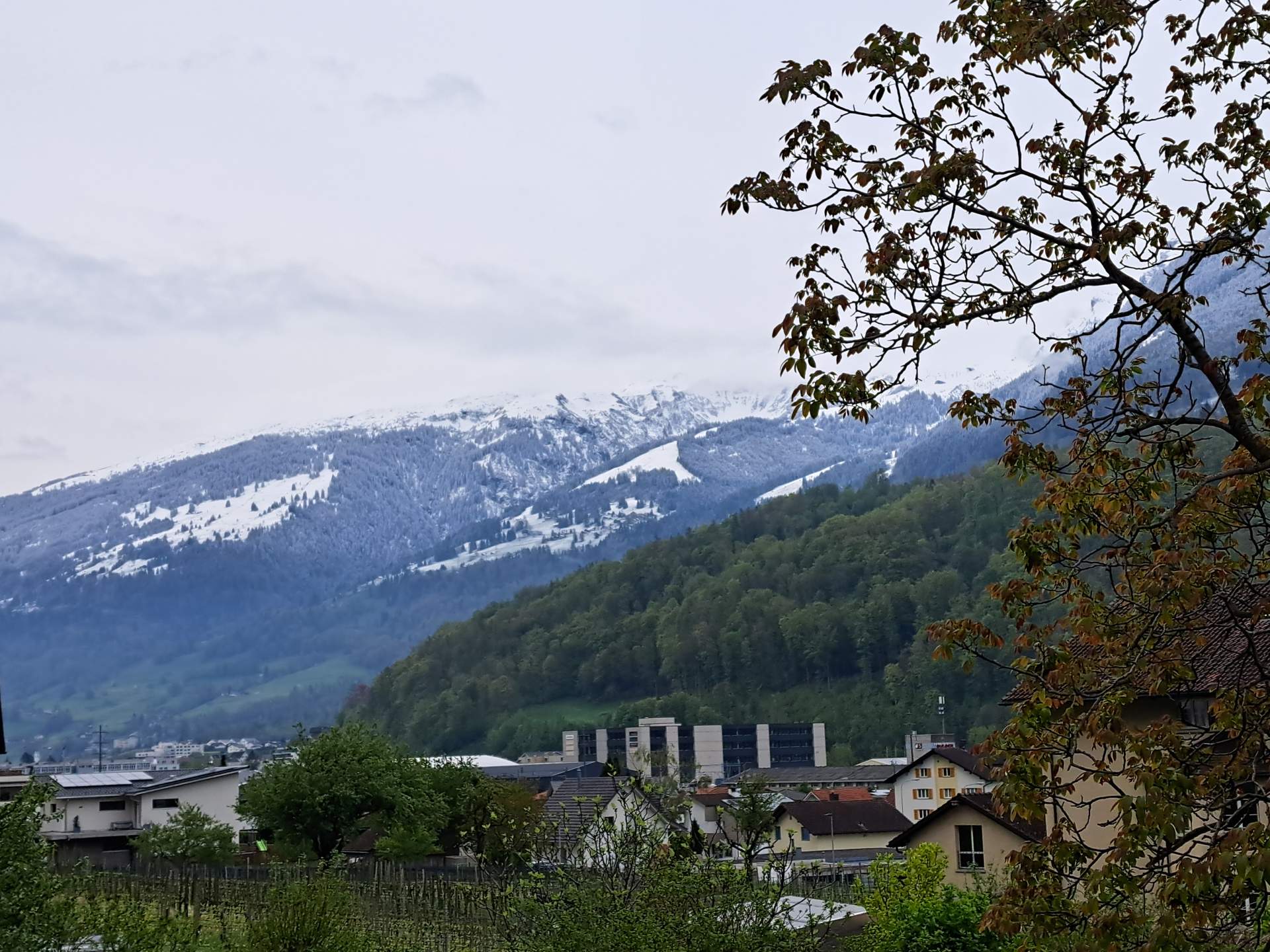
Changeable and increasingly cooler in the north until midweek
By the middle of the week, the high-altitude current will turn to the north, and humid and increasingly colder air will flow in in batches, which will increasingly accumulate along the Alps. The weather in the central plateau will be changeable and windy with occasional showers, especially on Tuesday, while it will often be cloudy and repeatedly wet along the Alps. The snow line is likely to be around 1000 to 1200 meters on Tuesday, with snowflakes below 1000 meters expected on Wednesday. Temperatures will be correspondingly low, reaching around 10 to 11 degrees.
Quite sunny and warmer in the south with a northerly foehn
Under the protection of the Alps, the weather in the south will be quite sunny on Tuesday and Wednesday with a northerly foehn wind and temperatures of around 20 to 21 degrees.
Finally, an overview of the weather development from today, Thursday, to next Wednesday (see Figures 2 and 3).

Fig. 3: Weather today Thursday; Source: MeteoNews

Fig. 4: Weather outlook from tomorrow Friday to next Wednesday; Source: MeteoNews
disclaimer
The content of this article has been at least partially computer translated from another language. Therefore, grammatical errors or inaccuracies are possible. Please note that the original language version of the article should be considered authoritative.