In the south, a congestion situation has brought a lot of precipitation in recent days and hours. In some places, the March target was exceeded after just two days. In the mountains, considerable amounts of fresh snow fell in some places.

Update on Sunday evening: precipitation
The congestion on the southern side of the Alps continues, since our interim report this morning (see below) a further 18 mm of precipitation has fallen in the Maggia Valley. Simplon-Dorf recorded 14 mm and 11 mm on the Great St. Bernard. This means that a considerable amount of precipitation and therefore fresh snow has fallen since last Thursday (Fig. 1). The situation will continue until tomorrow morning, and we expect a transition to friendly to even quite sunny weather in the afternoon during the course of Monday.

Fig. 1: 48h fresh snow total; Source: MeteoNews
Wind and temperatures
As expected, the northern Alpine valleys experienced strong foehn winds in places today. In Meiringen, the strongest gust of wind reached 109 km/h, in Altdorf it was enough for 96 km/h. The foehn was somewhat weaker in the Rhine Valley in Chur, with 83 km/h in Vaduz. It is remarkable how far the foehn air has already penetrated into the lowlands of the northern side of the Alps for this time of year. In Altenrhein at Lake Constance, 85 km/h was recorded and a foehn influence was noticeable at several elevated measuring stations in the central and eastern midlands.
Strongest wind gusts (<1000m, as of 16:25)
| Lowland stations | Strongest wind gusts (in km/h) |
|---|---|
| Meiringen | 109 |
| Altdorf | 96 |
| Altenrhein | 85 |
| Gersau | 85 |
| Vaduz | 83 |
| Glarus | 82 |
| Oberägeri | 77 |
| Quinten | 77 |
| Elm | 76 |
| Sion | 74 |
| Oberriet | 74 |
| Schmerikon | 74 |
| Sankt Gallen | 73 |
| Evionnaz | 73 |
| Bad Ragaz | 72 |
| Rorschach | 70 |
| Chur | 67 |
| Giswil | 65 |
| Steinen | 65 |
Stormy winds also blew on the mountains. Several gale-force gusts (from 118 km/h) were recorded, which can also be attributed to the foehn current over the Alps. With the south-easterly component of this current, the "Guggiföhn" phenomenon could also be observed, which is responsible for the high wind peaks on the Jungfraujoch.
Strongest wind gusts (>1000m, as of 16:25)
| Mountain stations | Strongest wind gusts (in km/h) |
|---|---|
| Gütsch | 144 |
| Jungfraujoch | 143 |
| Titlis | 122 |
| Glacier des Diablerets | 109 |
| Wildspitz | 105 |
| Brülisau-Leugangen | 105 |
| Les Attelas | 100 |
| Matro | 95 |
| Piz Martegnas | 95 |
| Corvatsch | 94 |
| Gornergrat | 91 |
| Grimsel | 88 |
| Maschgenkamm/Flumserberge | 86 |
| Pilatus | 84 |
| Säntis | 83 |
| Great St Bernard Pass | 80 |
| Berninapass | 80 |
| Engelberg | 76 |
| Monte Generoso | 73 |
| Adelboden | 72 |
The mixing of the air masses associated with the windy conditions also resulted in unusually high temperatures for the time of year over the course of the day. In Alpnach, 18 degrees were measured, but temperatures in the Zurich area also rose to a mild 17 degrees. For more details, see the hit list below.
Highest temperature (as of 16:30)
| Measuring stations | Highest temperature (in °C) |
|---|---|
| Alpnach | 18.0 |
| Amriswil | 17.8 |
| Winterthur | 17.8 |
| Giswil | 17.6 |
| Zurich Airport | 17.5 |
| Bassersdorf | 17.5 |
| Neuenhof | 17.4 |
| Zurich-Reckenholz | 17.4 |
| Neftenbach | 17.4 |
| Lucerne | 17.3 |
| Rorschach | 17.3 |
| Zurich-Zurichberg | 17.2 |
| Uttwil | 17.2 |
| Güttingen | 17.1 |
| Schönegg | 17.1 |
| Feldbach | 17.1 |
| Altenrhein | 17.1 |
| Emmen | 17.0 |
| Dübendorf Air Base | 17.0 |
Interim results on Sunday morning
Over the course of last Thursday, a gradual accumulation of snow has set in on the southern side of the Alps. By this morning, 40 to 70 mm had accumulated over a wide area, and in the Leventina and Maggia valleys, 100 to 120 mm had even fallen quite widely. In Cevio (116%) and Mosogno (113%), the usual March total has already been exceeded. There was also a lot of precipitation on the south side of the Simplon, with Simplon-Dorf reporting 67 mm of precipitation in the period mentioned. The precipitation will continue in these regions until tomorrow morning, after which the situation will gradually calm down.
Amount of precipitation (as of 07:50)
| Measuring stations | Precipitation (in mm) |
|---|---|
| Mosogno (771 a.s.l., TI) | 126 |
| Cevio (416 a.s.l., TI) | 110 |
| Robiei (1898 a.s.l., TI) | 108 |
| Bosco/Gurin (1486 a.s.l., TI) | 108 |
| Airolo (1139 a.s.l., TI) | 74 |
| Locarno-Monti (367 a.s.l., TI) | 73 |
| Piotta (1007 a.s.l., TI) | 69 |
| Torricella - Crana (1002 a.s.l., TI) | 68 |
| Simplon Dorf (1465 a.s.l., VS) | 67 |
| Locarno-Magadino (203 a.s.l., TI) | 63 |
| Binn (1400 a.s.l., VS) | 61 |
| Cimetta (1672 a.s.l., TI) | 58 |
| Stabio (353 a.s.l., TI) | 55 |
| Faido (747 a.s.l., TI) | 51 |
| Comprovasco (575 a.s.l., TI) | 47 |
| Coldrerio (347 a.s.l., TI) | 46 |
| Monte Generoso (1608 a.s.l., TI) | 45 |
| Biasca (307 a.s.l., TI) | 44 |
| Grono (325 a.s.l., GR) | 43 |
| Bellinzona (224 a.s.l., TI) | 42 |
Lots of fresh snow in the mountains
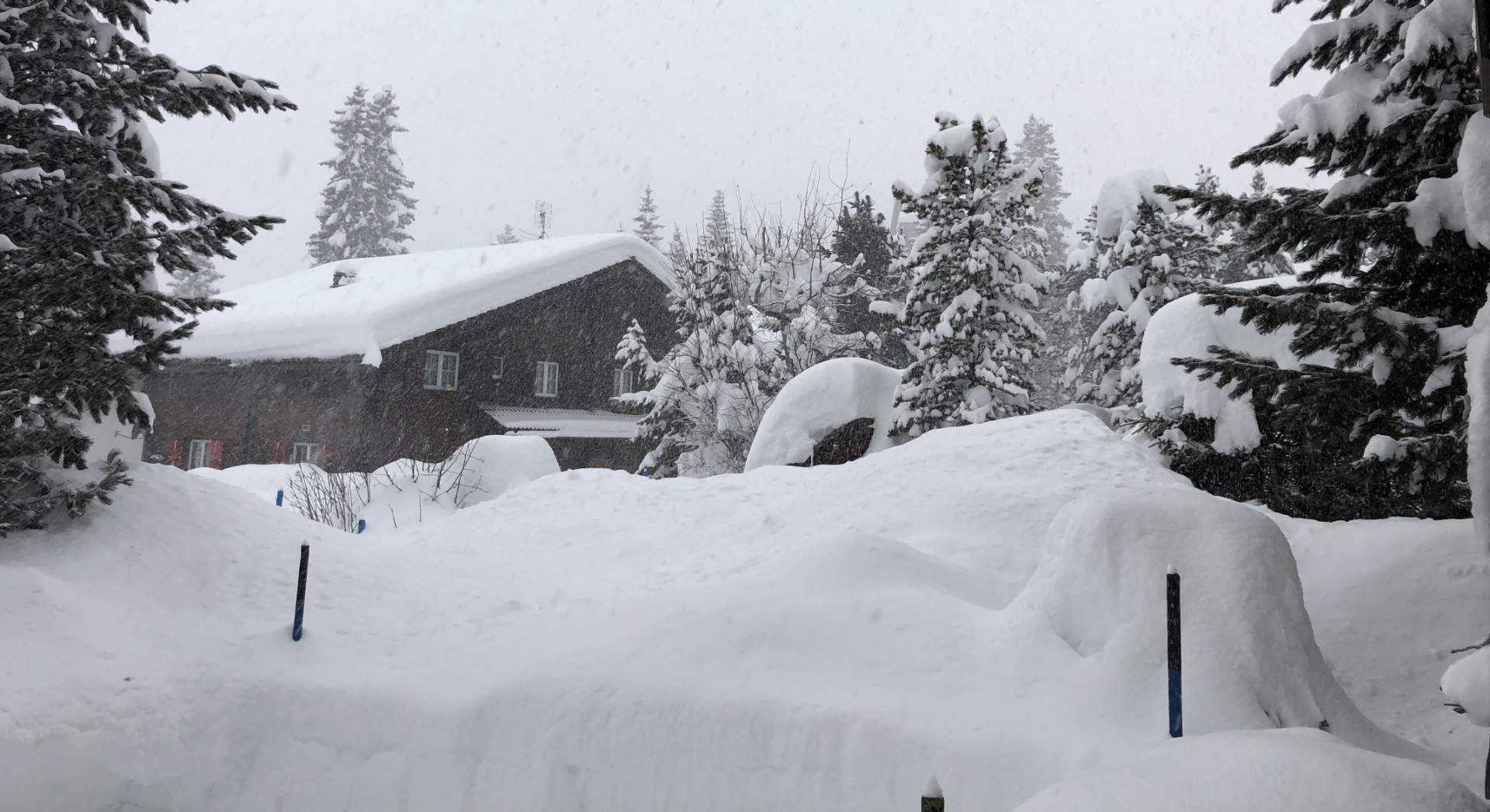
In the southern Alps from around 1500 meters upwards, there has been a lot of fresh snow in the past 72 hours. A look at the SLF's fresh snow map shows some regions with more than one meter of fresh snow, in some cases even 1.5 meters of fresh snow fell. The avalanche situation is therefore serious in some parts of the country (level 4 out of 5). According to the SLF, very large avalanches can often occur spontaneously at danger level 4, so extreme caution is advised!

Fig. 1: New snow map of the last 72h; Source: SLF
High fog and sunshine
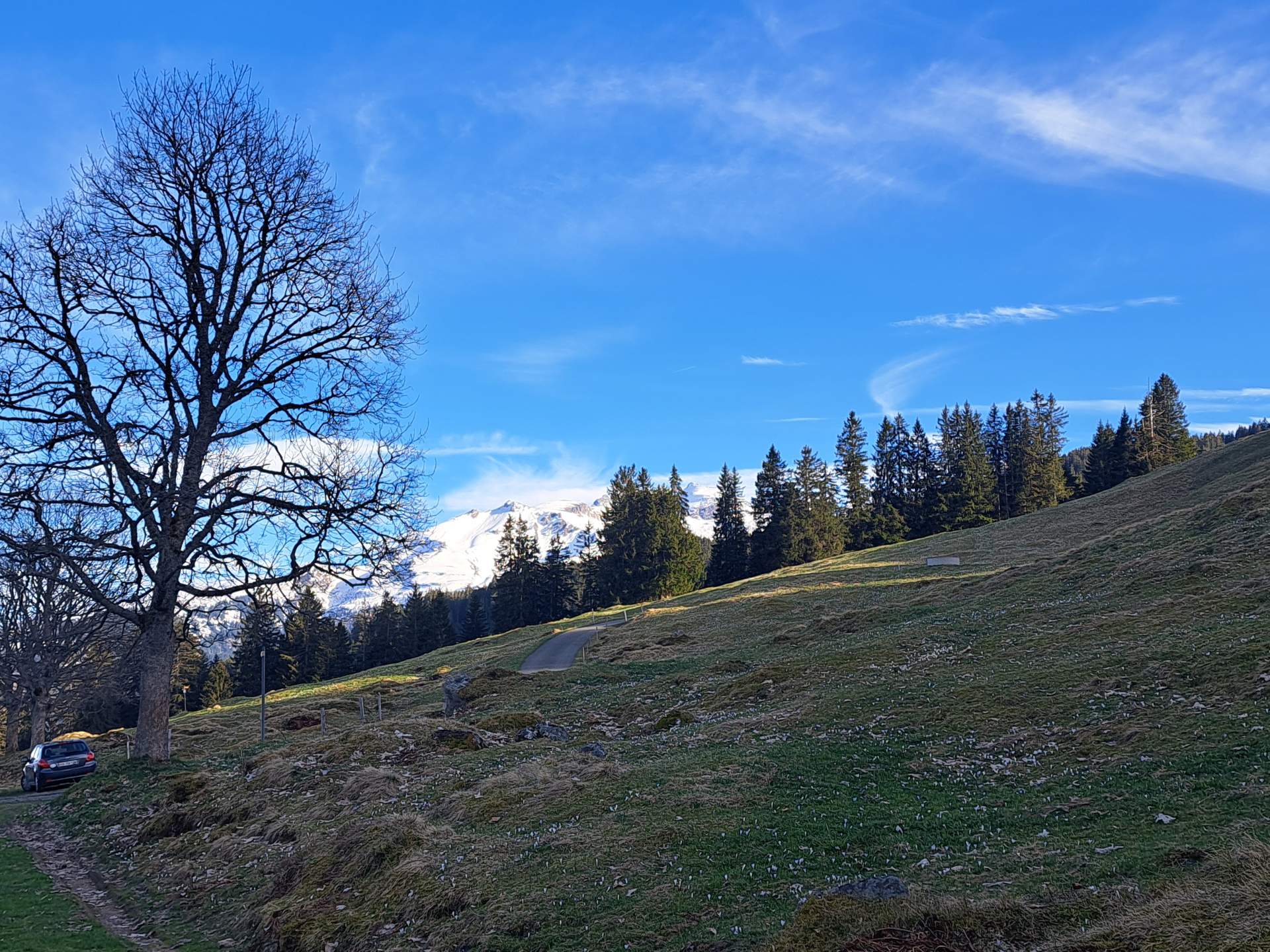
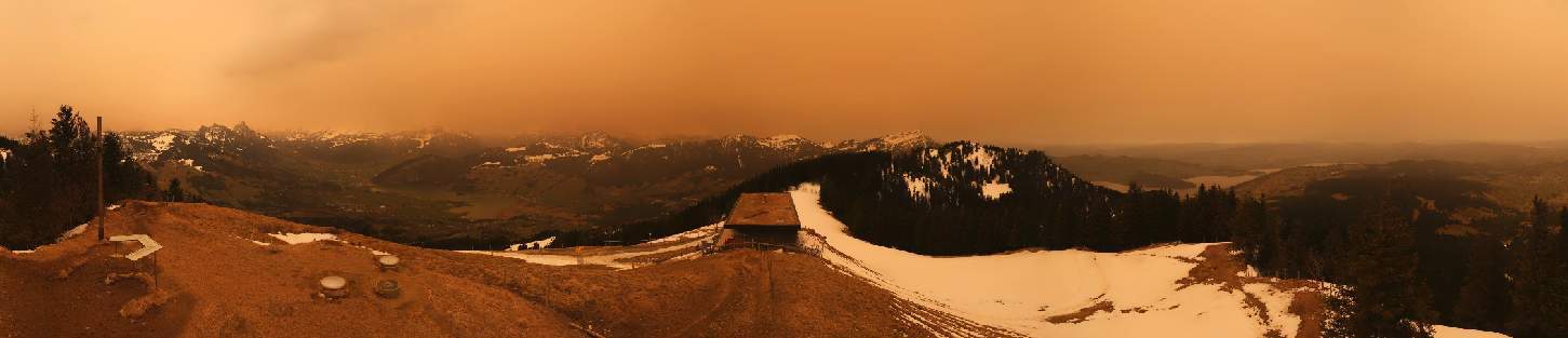
Thursday began with high fog in the lowlands and many valleys, and there are currently still clouds of high fog with an upper limit around 1400 meters. However, the gray is not too dense, there were already the first clearings in the morning. These are now increasing and the sun is getting more and more space. Remnants may persist along the foothills of the Alps, but they will tend to turn into flat spring clouds. It will be sunny above and outside the high fog, but slightly hazy due to some Sahara dust.

Fig. 1: View from the Rigi to the high fog, above it sun and some Sahara dust; Source: Roundshot
Compared to the last few days, it will be milder again, reaching 11 to 13 degrees in the afternoon, with 15 degrees possible in the Chur Rhine Valley with a little foehn support. In the south, it will be cloudy to very cloudy, with the first local showers. It will become increasingly wet during the night and the precipitation will then spread to the north of the Alps.
Especially wet in the south and east
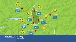
Friday morning will be cloudy and repeatedly wet in the north, with most precipitation in central and eastern Switzerland and Graubünden. Snow will fall above 1000 to 1300 meters, in Graubünden the snow line will be between 1400 and 1700 meters. During the day, it will soon dry out in French-speaking Switzerland and the clouds will clear in the afternoon. Towards the east, the sky will remain cloudy and the precipitation will slowly decrease. In the south, Friday will be more or less a washout, with frequent rain. The snow line will vary around 1500 meters, with the highest level in southern Grisons at up to 1800 meters.

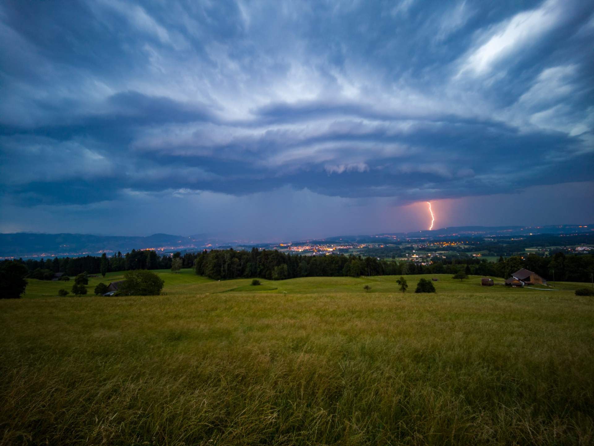
Fig. 2: Weather on Friday – Clouds and rain, clearing only in the west; Source: MeteoNews
Rising southerly foehn
On Saturday morning, there will be fog in some areas in the lowlands, but this will soon clear. Otherwise, we can expect a friendly mix of sun and clouds in central and eastern Switzerland, with more clouds to the west. In the Alps, a foehn wind will be blowing, and with its support, 14 to 17 degrees will be reached in the foehn valleys. Even without the foehn, it will be mild, with temperatures reaching double digits across the board. In the south, the humid air will build up and it will continue to rain. The snow line will be between 1300 and 1500 meters.

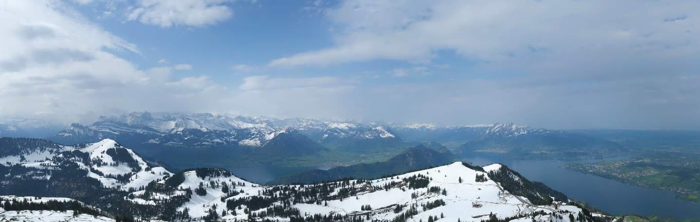
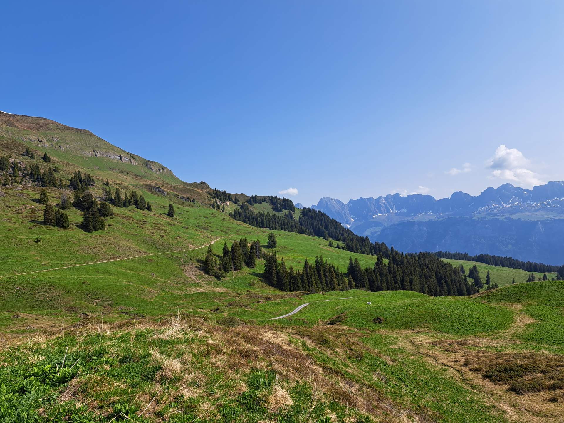
Fig. 3: Outlook for the coming days; Source: MeteoNews
Lots of rain and snow in the south, foehn in the north
On Sunday, the foehn reaches its peak in the Alps, pushing temperatures in the corresponding valleys up to 16 to 19 degrees. It will also be mild and spring-like in the swiss plateau. Once again, central and eastern Switzerland will be the friendliest in comparison, with the sun shining between the extensive cloud fields. Strong to stormy southerly winds will blow on the mountains, with denser cloud cover and precipitation across the main Alpine ridge from the south. Clouds will also dominate in French-speaking Switzerland, with occasional rain and the snow line dropping below 1000 meters. Precipitation will intensify in the south, with the main focus between the Simplon region, the Binntal valley and western Ticino. The snow line will be between 800 and 1300 meters – depending on the intensity and the valley. It will also remain cloudy in southern Grisons, but the amount of precipitation will be significantly lower.
Calm on Monday
The foehn will die down in the Alps on Monday night, but there will only be unproductive precipitation in the north and east. In the west, it will be wet more often, with snow falling down to 600 to 700 meters. In the south, it will continue to rain and snow at first, but the precipitation will ease towards the morning – and the weather will calm down. There will be considerable amounts of rain and snow on the southern slopes of the Alps over the entire period. Most of it will fall between southern Valais and Ticino, with 80 to 120 mm of precipitation and locally around 150 mm. On the mountains, this amounts to 1 to locally 1.5 meters of fresh snow. The further east you go, the less rain and snow there is.

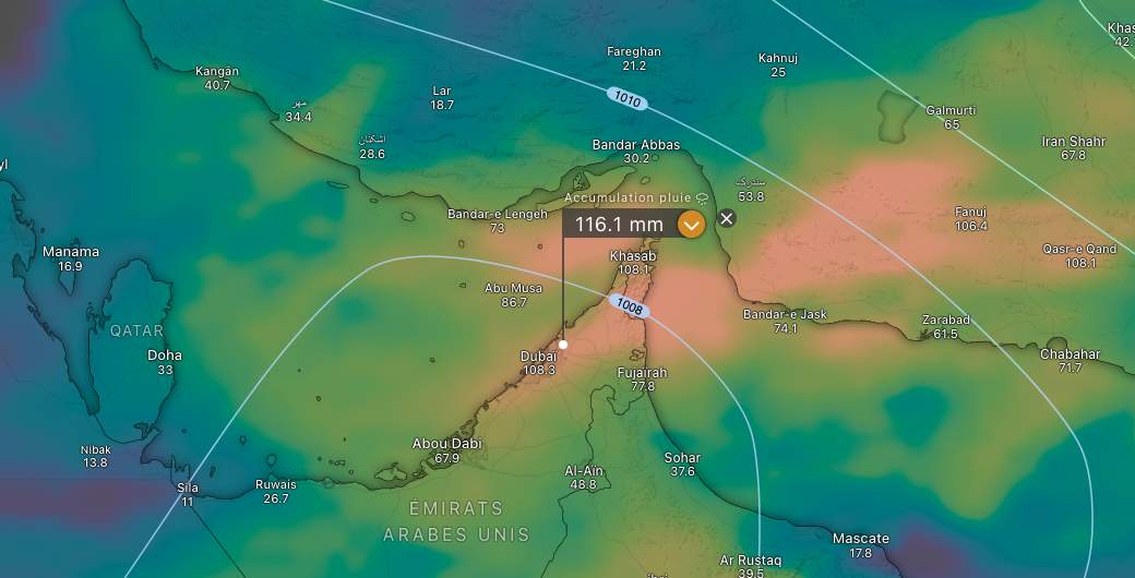
Fig. 4: Precipitation amount March 1, 00 a.m. to March 4, 6 a.m.; Source: MeteoNews, Ubimet

Fig. 5: Considerable amounts of precipitation again on the southern slopes of the Alps until Monday, lots of fresh snow on the mountains; Source: MeteoNews
Haftungsausschluss
Der Inhalt dieses Artikels wurde mindestens teilweise computerunterstützt aus einer anderen Sprache übersetzt. Deshalb sind grammatikalische Fehler oder Ungenauigkeiten möglich. Bitte beachten Sie, dass die ursprüngliche Sprachversion des Artikels als massgeblich angesehen werden sollte.